U.S. Expedition Charts Antarctica’s Coast
19th-century exploration ships navigating icy Antarctic waters.
What Happened?
In the early 1800s, much of the world still wondered what existed at the bottom of the Earth. Some believed there was an open sea, others imagined scattered islands, and many called the region Terra Australis Incognita, meaning the Unknown Southern Land.
To explore this mystery and expand American scientific knowledge, the United States launched a massive naval journey in 1838 led by Lieutenant Charles Wilkes. Over four years, his expedition sailed nearly 87,000 miles, mapping islands, coastlines, and oceans around the globe.
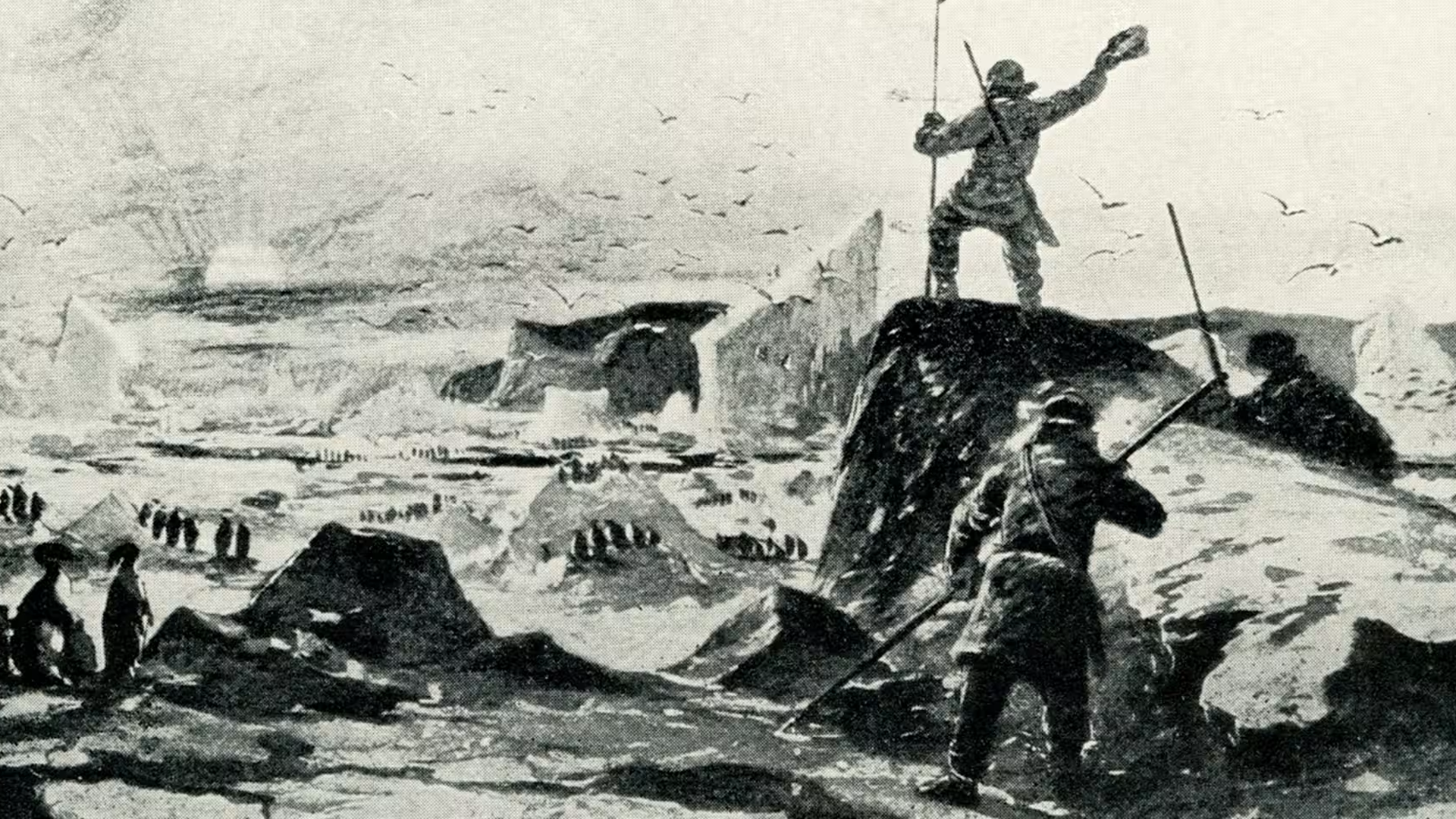
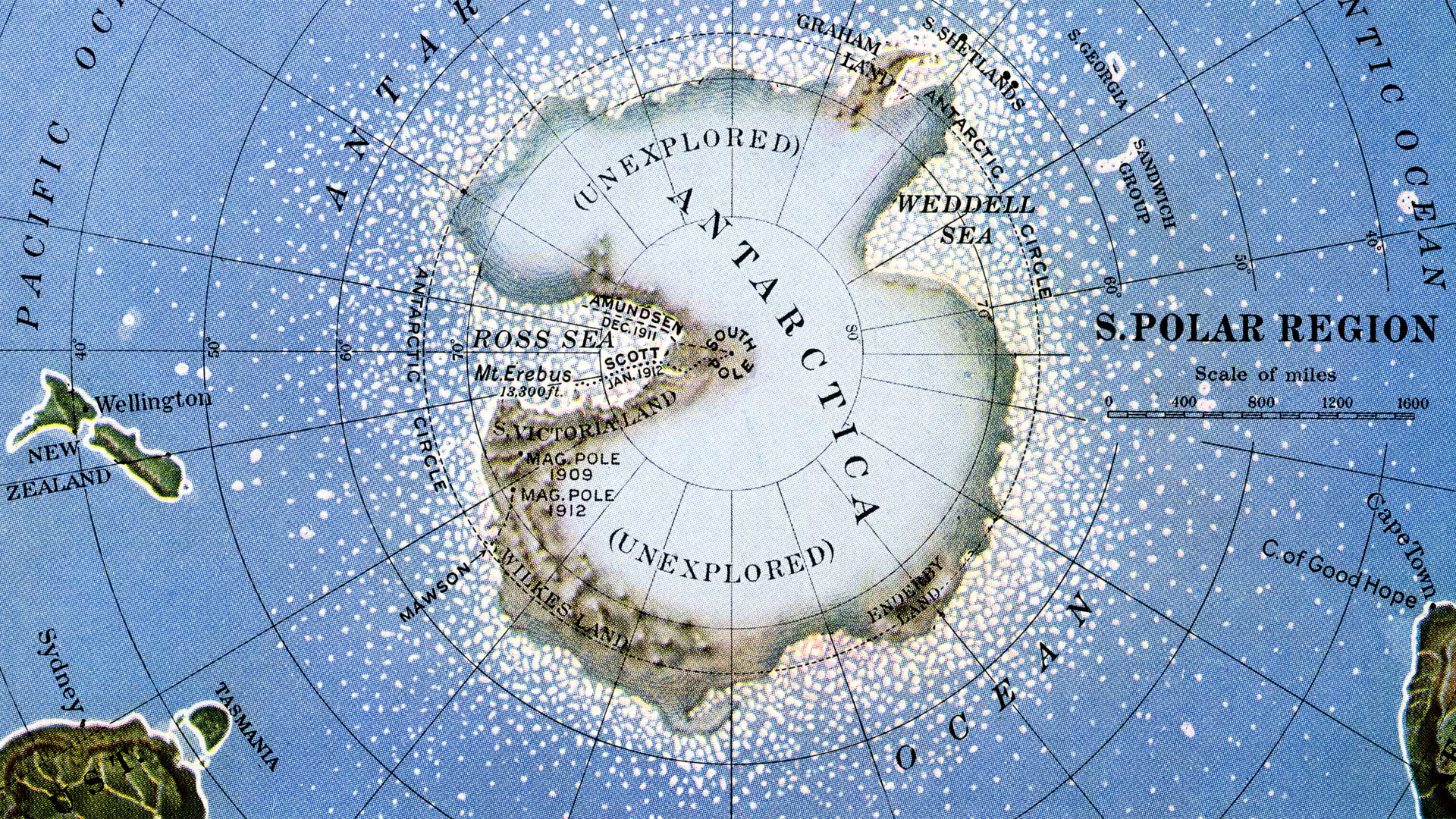
In January 1840, Wilkes and his crew reached the icy waters of Antarctica. Despite brutal cold, dangerous seas, and warnings from his medical staff, Wilkes pushed forward and carefully charted about 1,500 miles of the eastern Antarctic coastline, later known as Wilkes Land.
Although Wilkes did not discover Antarctica, his detailed maps helped prove that the land beneath the ice was part of a large continent, not just islands. This was an important scientific breakthrough that reshaped how geographers understood the planet.
Wilkes claimed the region for the United States, as many nations did during this era of exploration. Over time, competing claims created tension, leading countries to rethink how Antarctica should be treated.
In 1959, nations agreed to the Antarctic Treaty, which set aside territorial claims and turned Antarctica into a place dedicated to science and peace. Wilkes’ work helped lay the foundation for this international cooperation.
The story of Charles Wilkes also reminds us that exploration can be both impressive and complicated. While his scientific achievements were significant, his leadership was controversial, showing that history often includes both discovery and conflict.
Why It Matters
This event shows how exploration expands human knowledge while raising questions about ownership, power, and responsibility. Learning about Antarctica’s exploration helps students understand science, global cooperation, and why some places on Earth are protected for everyone, not claimed by any one nation.
?
Why were scientists and explorers so curious about what existed at the South Pole?
How did Charles Wilkes’ maps help prove that Antarctica was a continent and not just islands?
Why did many countries try to claim parts of Antarctica during the 1800s?
What problems can happen when nations compete to control land instead of sharing it?
Why do you think countries later agreed to protect Antarctica for science instead of ownership?
Dig Deeper
Explains how Antarctica is governed by international agreement and used only for peaceful scientific research.
Related

The Ozone Hole: A Wake-Up Call from the Sky
In 1985, scientists discovered a gaping hole in the ozone layer above Antarctica. It wasn’t just a science headline—it was a planetary red flag. And the world actually listened.
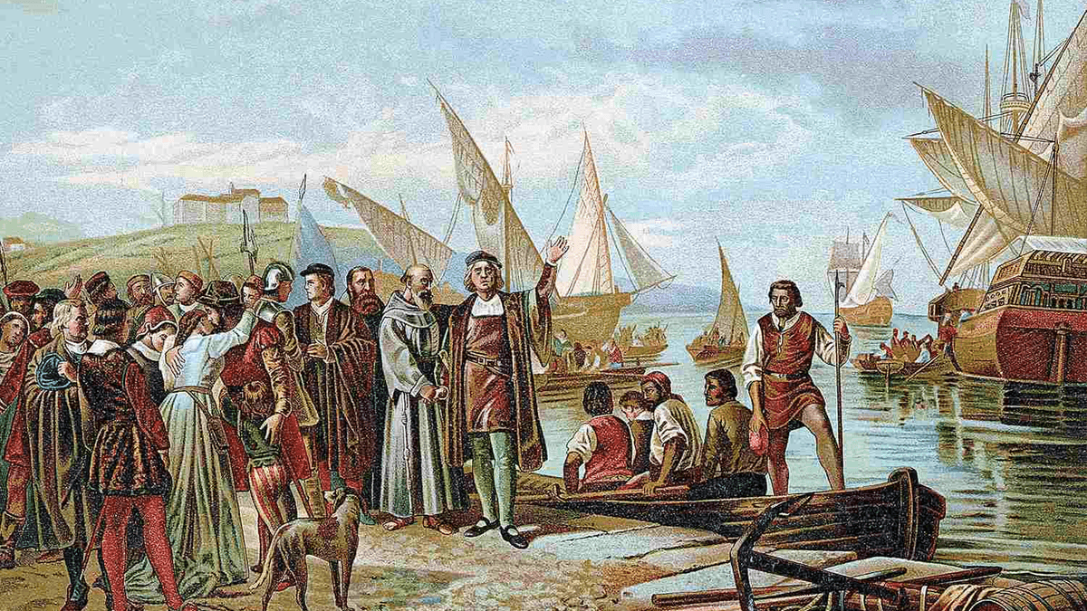
European Exploration of the Americas
When European explorers set sail across the Atlantic, they weren’t just chasing trade routes—they were rewriting the world’s future. But discovery for some meant devastation for others.
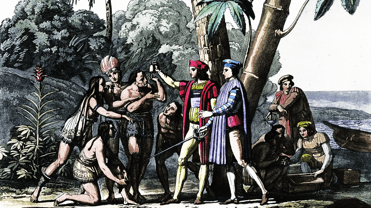
The Columbian Exchange: When Worlds Collided
When two previously isolated worlds collided in 1492, the resulting biological, cultural, and economic transformation reshaped every corner of the globe. The Columbian Exchange was not just a swap—it was a world-changing, world-breaking chain reaction.
Further Reading
Stay curious!